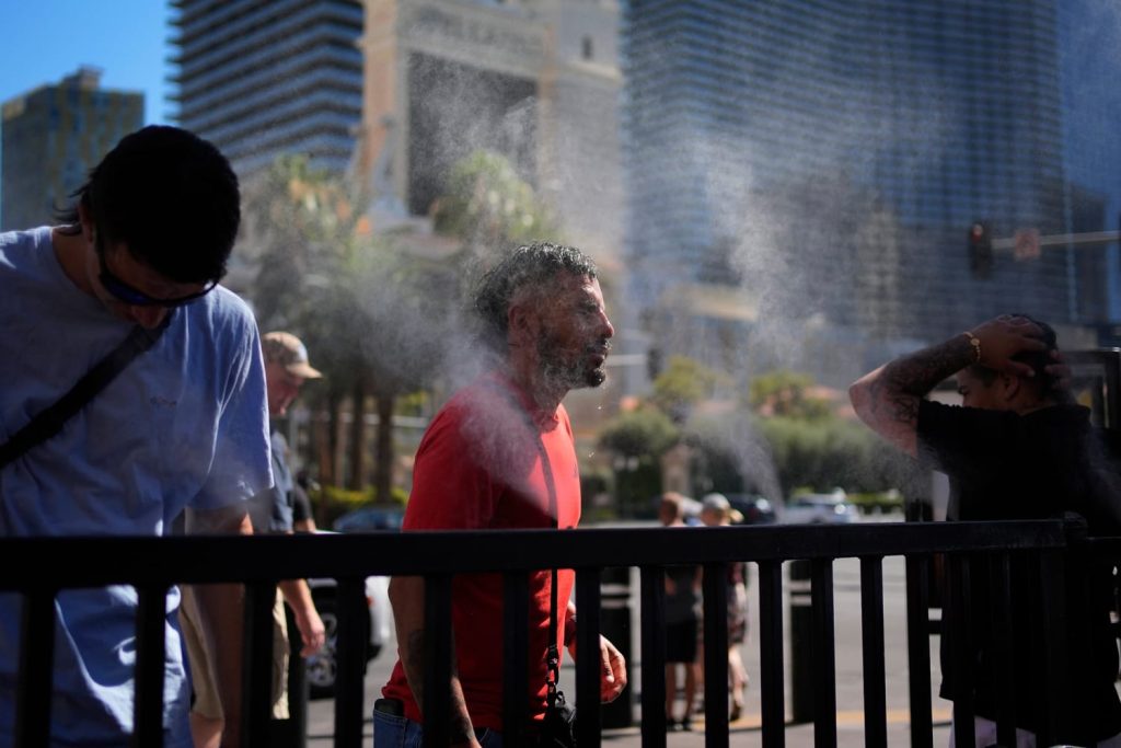
The National Weather Service said “dangerous and record-breaking” heat was expected to continue into Saturday in the West, with about 42 million people under extreme heat warnings on Friday.
The heatwaves are expected to remain above 100 degrees Fahrenheit on Friday, with cities including Las Vegas, Salt Lake City, Boise, Idaho, and Spokane, Washington, expected to see even higher record temperatures.
“This prolonged heat wave is extremely dangerous and deadly if not taken seriously,” the weather service said in an update Friday. “Dozens of days of record high temperatures are expected across much of the West through Saturday. Dangerous heat will spread to parts of the central and eastern U.S. later this weekend.”
The National Weather Service field office in Los Angeles warned that a “prolonged heat wave” would continue to affect some areas over the next week.
High temperatures on Friday are expected to reach 116 degrees in Las Vegas, 103 degrees in Salt Lake City and 101 degrees in Denver.
Relief efforts could be underway in northwestern Arizona and southern Nevada, where storms are forecast for Friday. Las Vegas Weather Service Field Office.
The heatwaves are expected to continue in southeast Texas, where Category 1 Hurricane Beryl made landfall earlier this week.
The heat index in the area will again reach 100 to 105 degrees. The heat index is the temperature that feels like it to the human body when combined with air temperature and humidity.
a bit Fewer than 1 million power customers remain without power in southeast Texas as a result of Beryl, according to Poweroutage.us, and the weather service warned that this could make the extreme heat even more dangerous.
About 42 million people were under extreme heat warnings Friday across the West, the Rocky Mountains and southeast Texas.
An active storm system this weekend is expected to produce several severe storms across the Northern Plains, upper Midwest and Great Lakes into next week.
About 7 million people are at risk of severe storms across North Dakota, Minnesota and Wisconsin on Saturday. Parts of North Dakota and northern Minnesota are again at risk of severe storms on Sunday, extending as far as Chicago.
As of Monday, 23 million people were already at risk in areas including Minneapolis, Green Bay, Milwaukee, Madison and Chicago.
About 18 million people are under flood watch in a region stretching from South Carolina to Massachusetts, including Philadelphia and New York City, and the Weather Prediction Center issued a slight warning of risk of excessive rainfall, Level 2 on a four-point scale, for parts of southern New England because of thunderstorms expected to hit the region over the weekend.
Slow-moving tropical downpours will inundate parts of the Mid-Atlantic and Northeast on Friday. Rainfall rates of 1 to 2 inches per hour could cause flash flooding, especially in cities, streams and roads.


